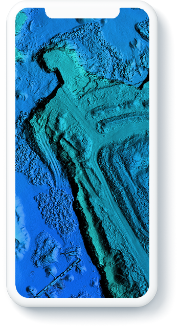
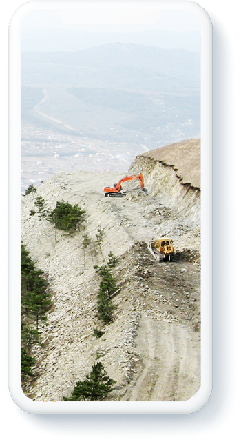
Terrain works with laser scanning technology has become more accessible. The survey is carried out using LiDAR on a UAV in any geographical conditions and the construction of a 3D model takes place in the shortest possible time.
An easy way to survey in hard-to-reach terrain.
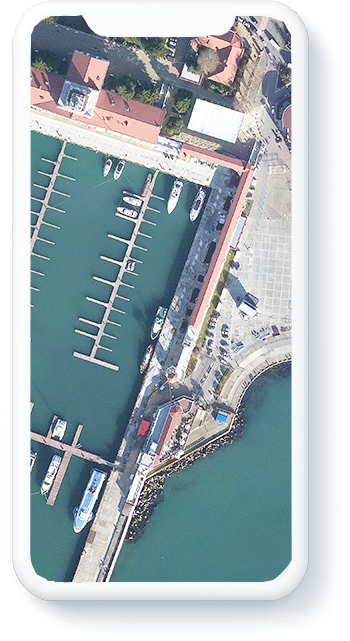
Airborne Laser Scanning with aerial photography is the most effective technology to receive high-precision three-dimensional model of the area. Airborne scanning allows you to generate topographic, engineering-topographic plans and maps of various scales in a short time. Airborne laser scanning technology is based on the fixation of laser reflections from a LiDAR located on an aircraft. The functioning of airborne scanner navigation system is based on the interaction of the GNSS satellite navigation systems with inertial system.
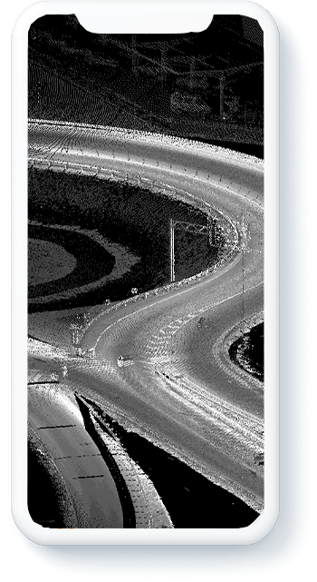
Mobile Laser Scanning (MLS) – is the most productive survey method to receive a 3D model of linear objects (roads, railways, power lines, gas pipelines, etc.).
Mobile scanning is performed by moving the scanner mounted on the vehicle. The scanner sends laser impulses and receive reflected signals from objects around it, while a navigation system works simultaneously with the scanner, which is necessary to determine the georeferencing of the received points when the scanner moves. As a result of scanning a 3D point cloud is obtained along the entire survey route.
The mobile scanning system can be mounted on cars, ships, railway platforms and other vehicles.
Accomplishing projects in time.
Skyscan takes for processing various types of spatial data, mobile and airborne laser scanning data, digital aerial and space shooting to perform various tasks of territory mapping. As the result of post-processing data, there could be orthophotoplans, digital area models, digital topographic maps and plans and other derived data in various coordinate systems. All these materials are used in designing, building and reconstructioning construction objects for organization geographic information systems (GIS).
It is better to use laser scanners to accomplishing these jobs. They will make projects more efficient and save time.