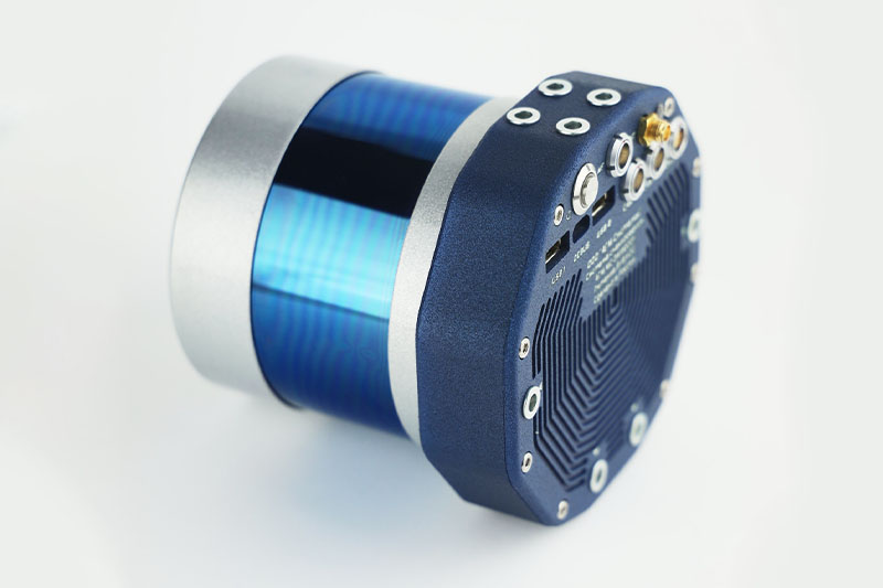
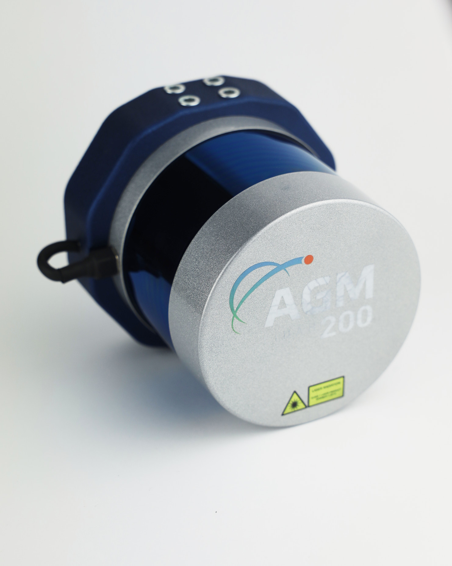
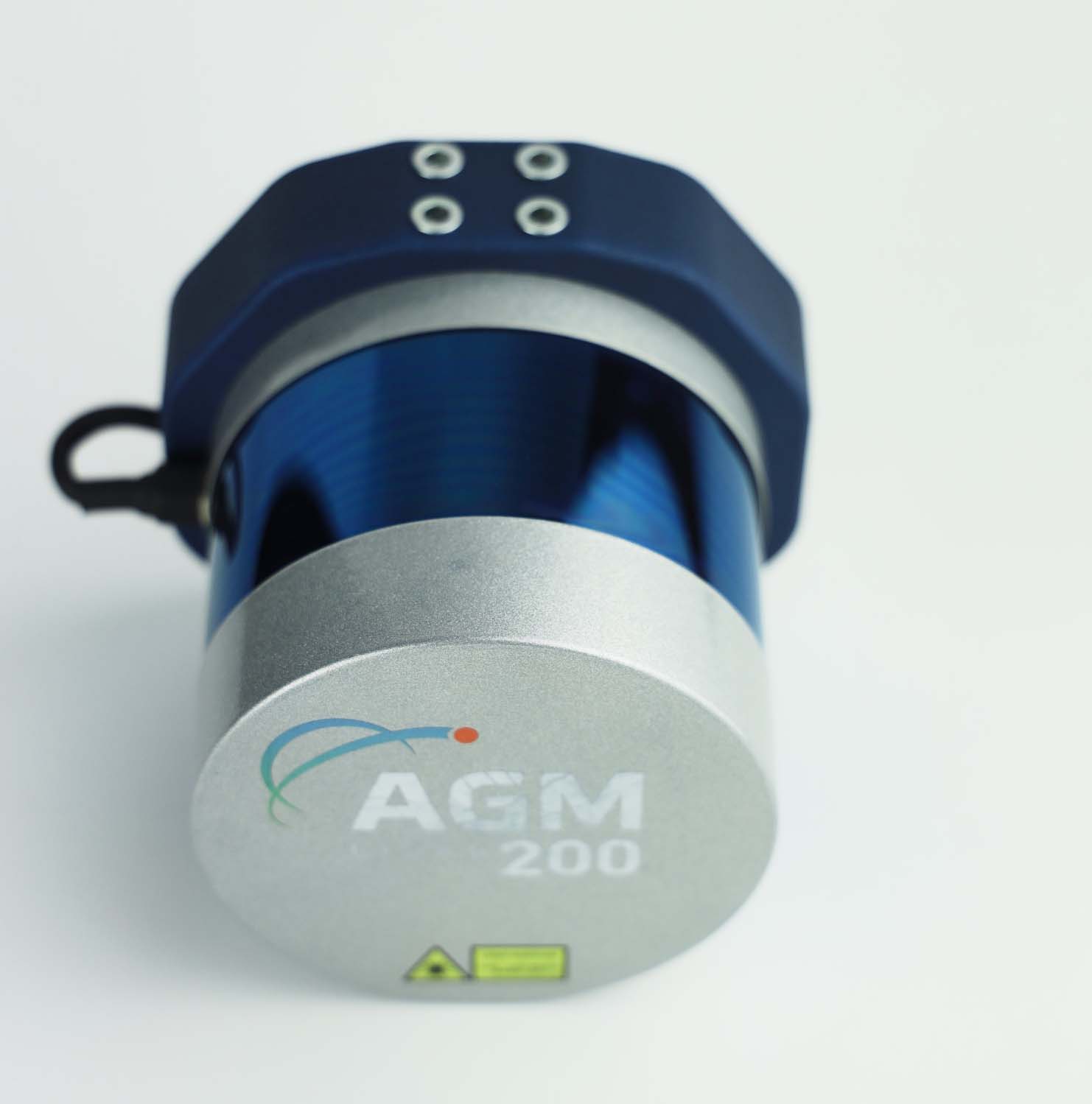
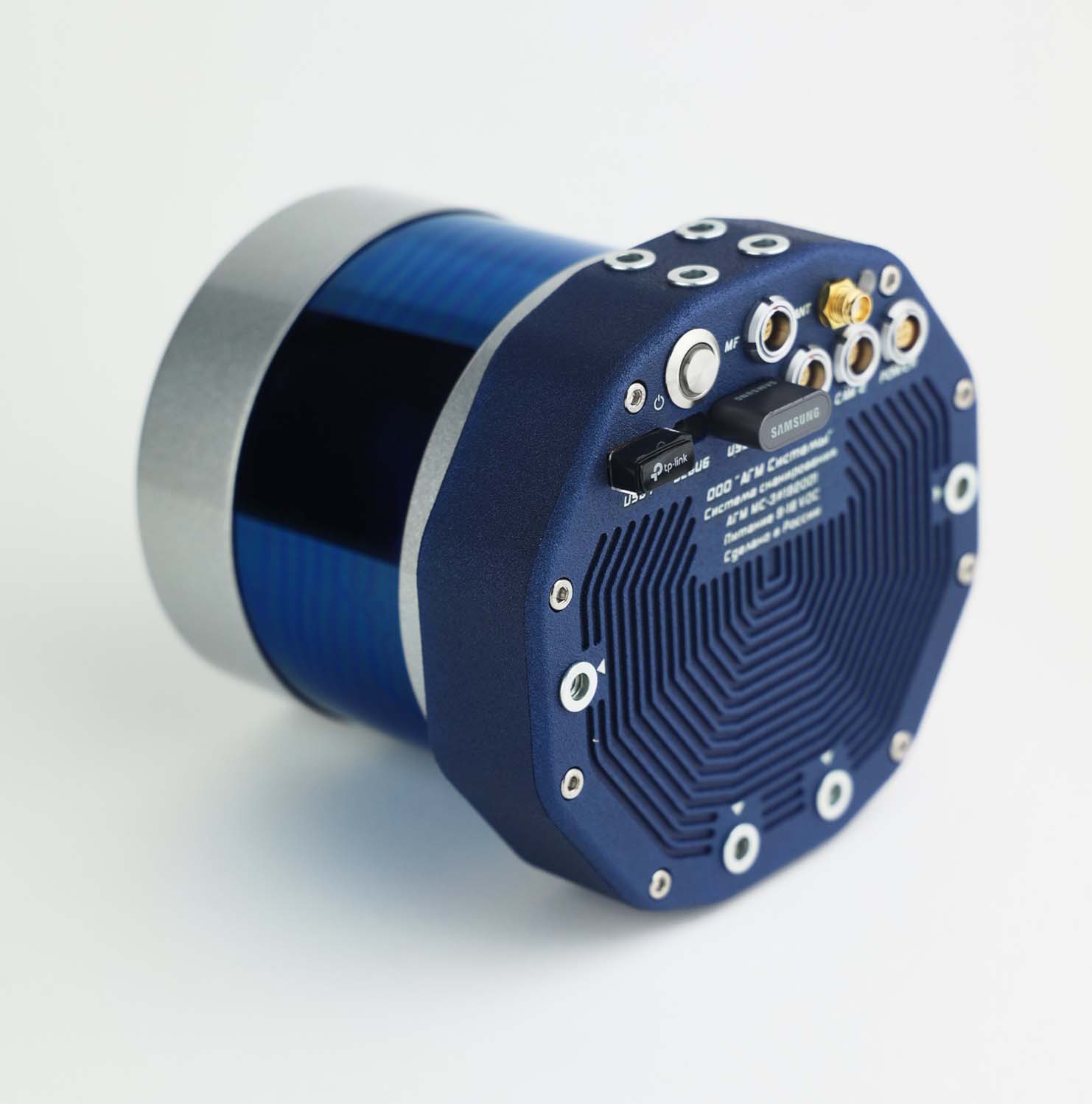
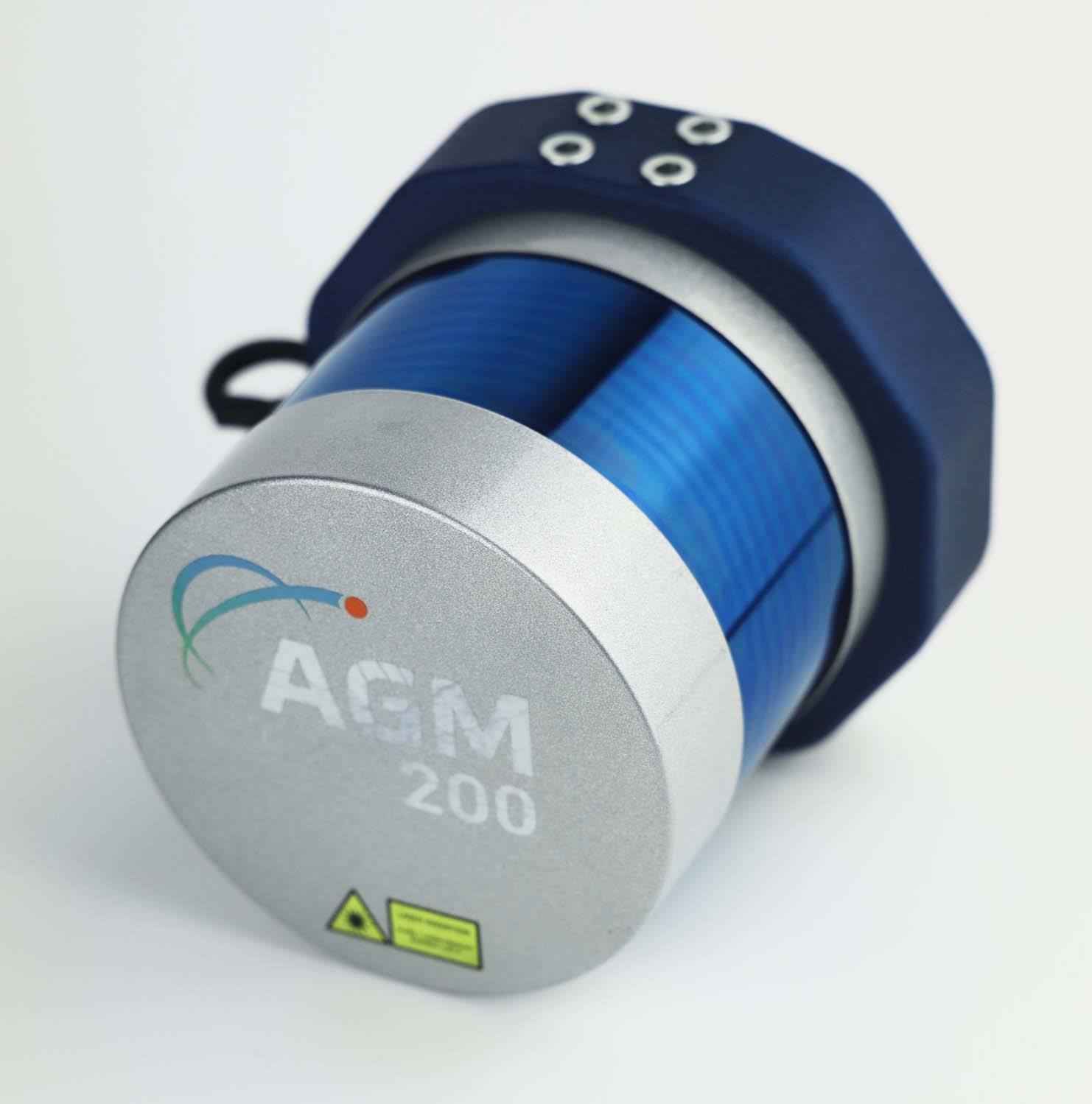
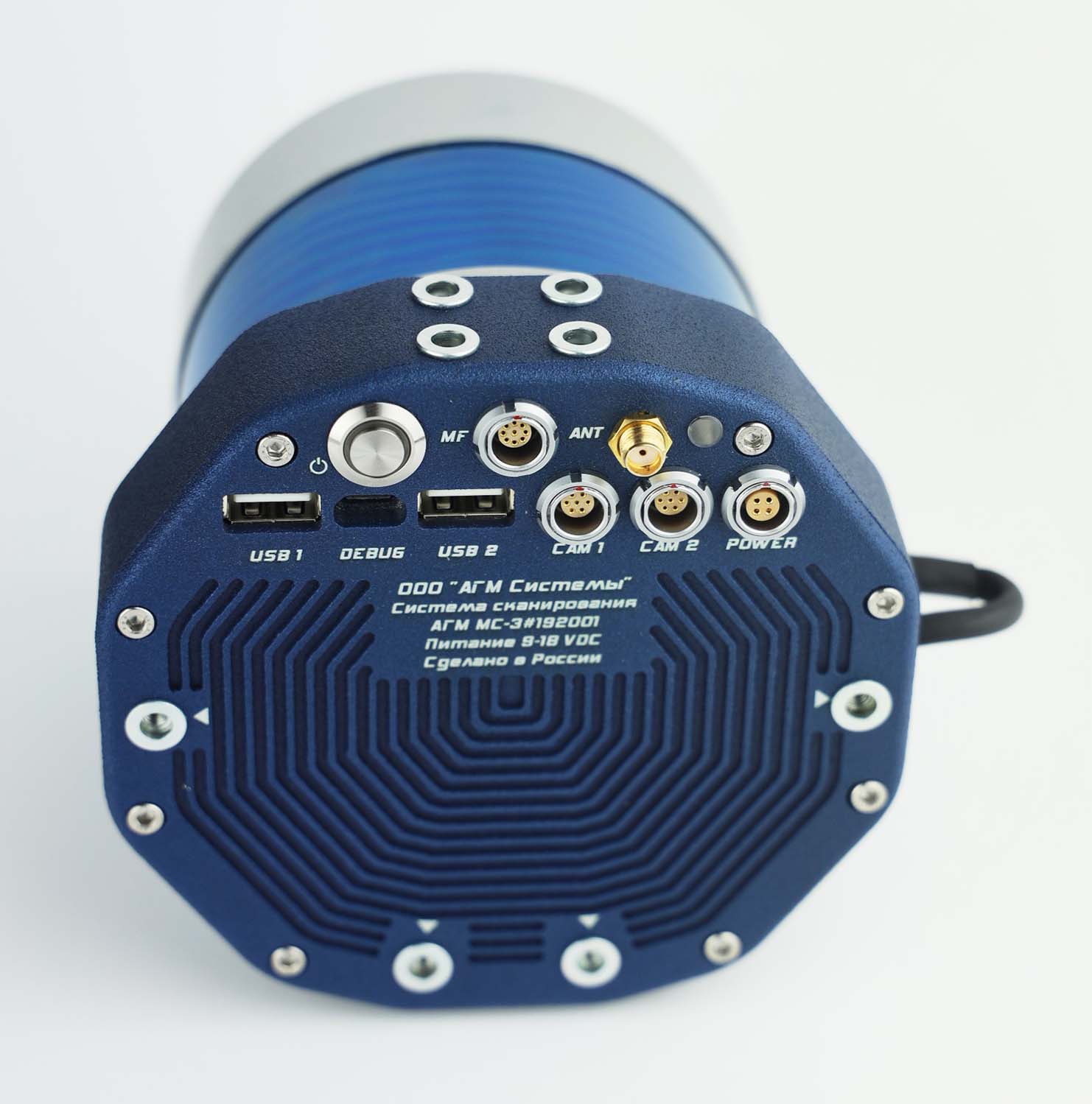
The mobile laser scanner AGM-MS3 is a modern geodesy instrument thanks to the navigation system AGM-PS.M, which is based on GNSS receiver and IMU with MEMS technology. The versatile system and its light weight allow the scanner to be used for mobile and airborne laser scanning. A scanning range of 200 meters and a frequency of 600,000 measurements per second achieve scanning density up to several hundred points per square meter.
Fill out the feedback form to receive a commercial offer.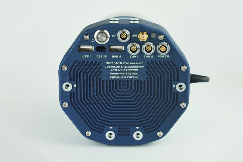
Contact us if you need more detailed information
The equipment in action
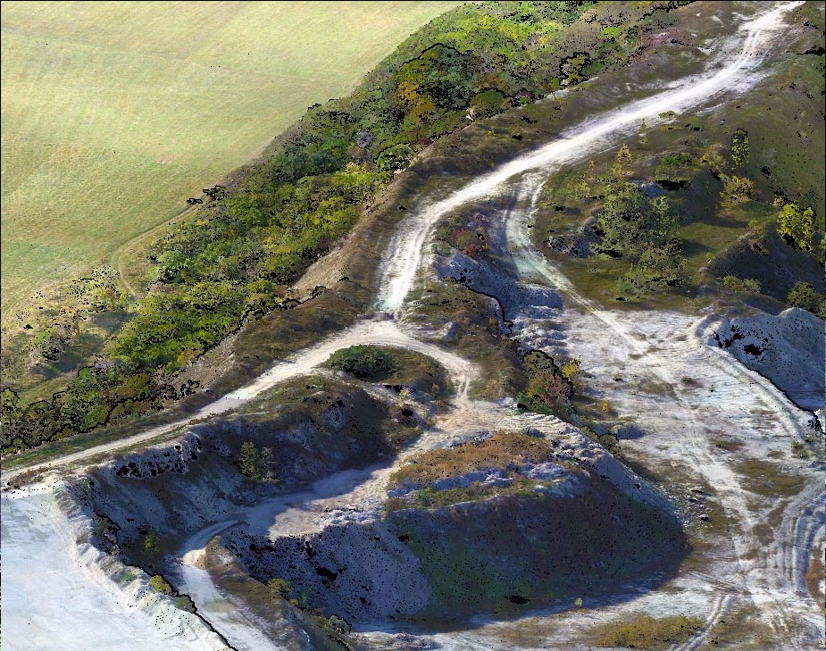
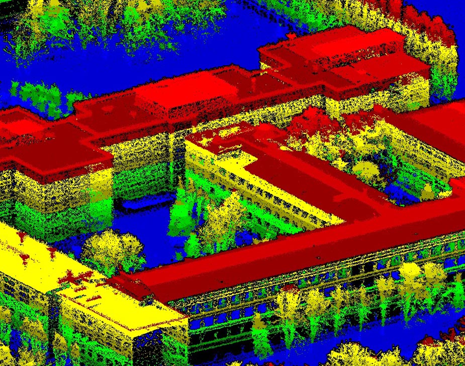
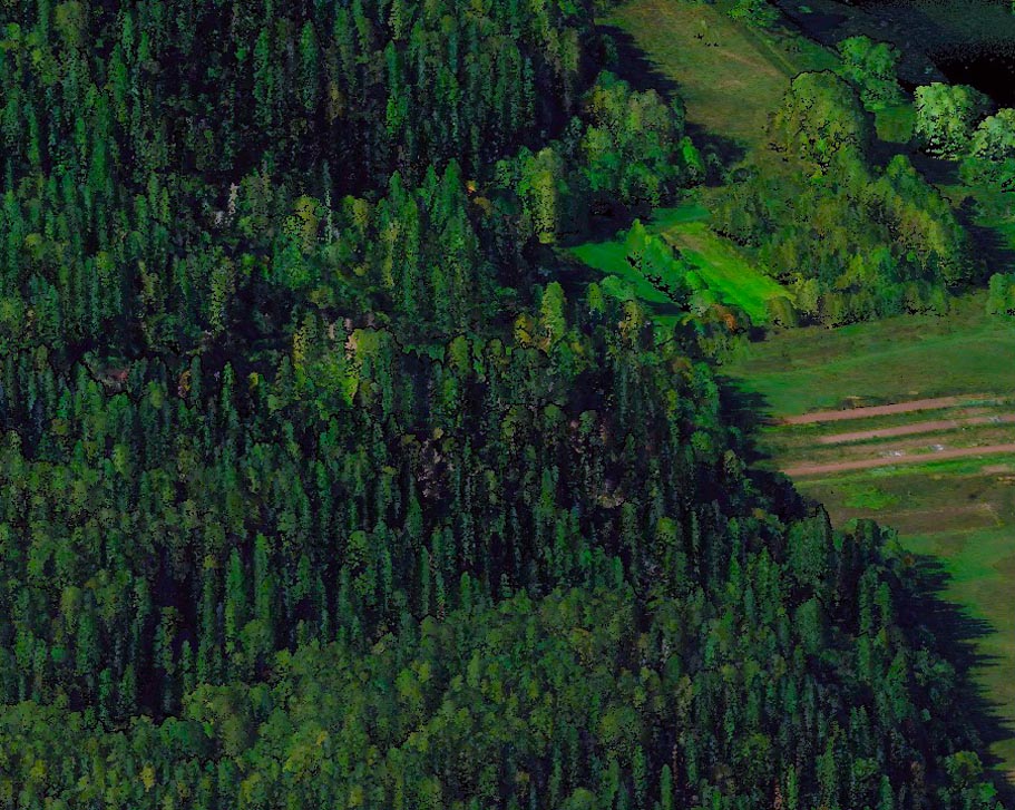
The high effectiveness and performance of the airborne laser scanning technology allows the capture of large areas in short amount of time and collecting data with high degree of detail regardless of terrain complexity and the presence of vegetation.
Airborne laser scanning has never been so easy and affordable.
Skyscan works directly with the equipment manufacturers. The whole model range is in stock in our warehouse. The delivery time for ordering in large quantity is minimal.
On any type that can lift a payload of 1.25 kg. For example DJI Matrice 300.
To operate the laser scanner is needed only one specialist, who will be in control of the drone. All recording is done automatically.
Yes, via a special port for CAM synchronization and for supplying power. The camera is calibrated with the LiDAR. During capture we get the coordinates of the centers photographing X, Y, Z and the ROLL, PITCH, HEADING parameters for external orientation of the images.